Nearest Places
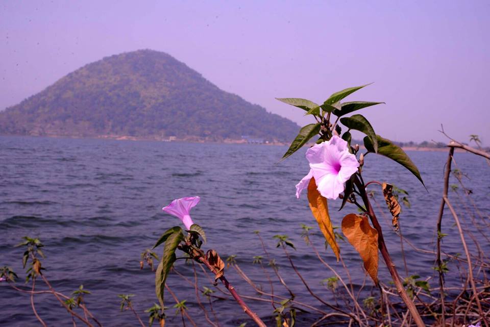
Baranti Lake
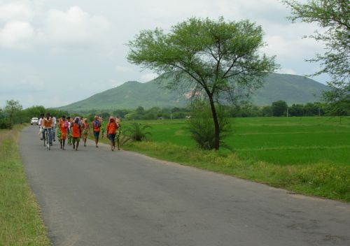
Baranti Is A Developing Tourist Center Located In The Lap Of Gorongi Hill. This Village Is Surrounded By The Panchkot Hill At One Side And The Biharinath Hill On The Other, With A Water Reservoir Under Ramchandrapur Medium Irrigation Project. This Area Is Popular For Hill And Jungle Trekking Due To Its Natural Environment. Biharinath Eco Torism Is Only 19 Km Away From Baranti.
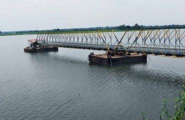
Korol Pahar And Gangdua Dam
He Map Alongside Shows The Bankura Sadar Subdivision Of Bankura District. Physiographically, This Area Is Part Of The Bankura Uplands In The West Gradually Merging With The Bankura-Bishnupur Rarh Plains In The North-east. The Western Portions Are Characterised By Undulating Terrain With Many Hills And Ridges.
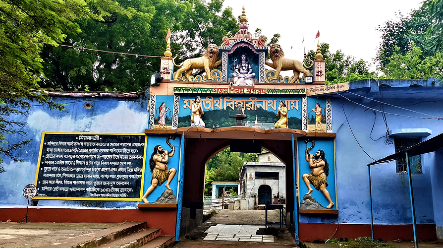
Biharinath Shiv Mandir
There Is No Definite Time Of Visiting This Destination, As The Place Attracts Tourists Throughout The Year. However, If You Are Looking For A Peaceful Weekend Gate Away Then Try To Avoid The Seasons When Fairs And Festivals (especially Shivratri) Are Held. There Is No Definite Time Of Visiting This Destination, As The Place Attracts Tourists Throughout The Year. However, If You Are Looking For A Peaceful Weekend.
Jay Chandi Hill
Joychandi Pahar Is A Hill Which Is A Popular Tourist Attraction In The Indian State Of West Bengal In Purulia District. It Is Two Kilometres From The Subdivisional Town Of Raghunathpur And Four Kilometres From Adra Town. The Hill Is Situated 2 Kilometers South From Purulia – Barakar Road Via Nanduara Village And 1 Kilometer West From Raghunathpur-Adra Road Via A Growing Township Known As Annapurna Pally. It Is Also Just Four Kilometres Away From Adra Junction Railway Station And 1.5 Kilometres From Joychandipahar Railway Station, Which Is Situated On Adra-Asansol Section.
Susunia Hill
Susunia Hill Is A Known Archeological And Fossil Site. Fossil Remains Of Asiatic Lion, Giraffe, Hyena And Other Animal Species Have Been Discovered From Areas Around. The So Claimed oldest Rock Inscription Of West Bengal Is Located Here. There Is An Ancient Carved Monolith (Narasingha Stone) Standing At The Point Where The Spring Water Is Coming Out Of Another Stone Gargoyle Or Curved Projected Spout. It Is Also Used As A Location For Camping And Rock-climbing.Susunia Village Itself Is Home To Stone-carving Craftsmen. Susunia Is An Important Archaeological Site In Bankura District, Yielding Stone Age Tools.It Is Believed That There Earlier Was A Fort Built By King Chandravarman. Some 4th-century Inscriptions Are There, Referring To A Place Called Pushkarana, Once The Capital Of Chandravarman. Modern-day Pakhanna Is Considered To Be Ancient Pushkarana. The Rock-edict Reads That- The Devotee Of 'Chakkaswami' (Lord Vishnu), The King Of Pushkarana, Son Of The King Simhavarmana, King Chandravarmana Offers The Revenue Of The Village Named 'Dhoso' For The Purpose Of Worship To His Lord Vishnu. There Is A Symbol Of 'Wheel' or 'Chakra' Near The Rock-edict And Towards The Lower Left Side Of The Wheel, There Is Another Line Written In A Script, Not Deciphered Yet, Probably The Obscure 'Samkhalipi' (Conch Shaped Script!), As Opined By Some Experts.Biharinath Eco Tourism To Susunia Hill Distance Approx 35 Km.
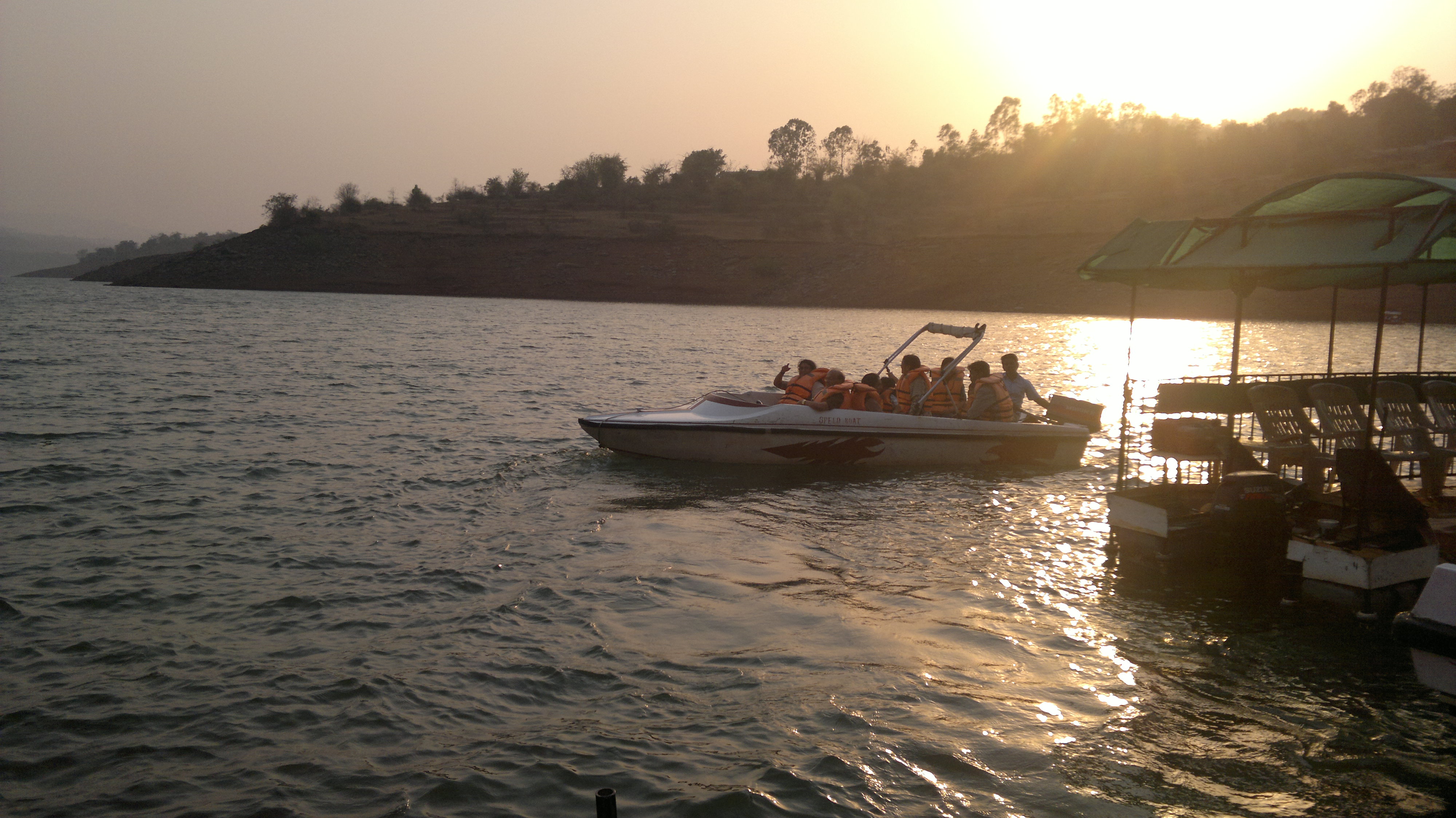
Panchet Dam
The Damodar Forms The Border Between Dhanbad District Of Jharkhand And Purulia District Of West Bengal, Before Meeting The Barakar At Dishergarh And Flowing Fully Through West Bengal. Panchet Dam Has Been Constructed A Little Above Its Confluence With The Barakar.While Dhanbad District Is On The Northern Bank Of Panchet Reservoir, Purulia District Is On The Southern Bank. Panchet Hill Rises Above Panchet Dam.Panchet Dam Is 9 Kilometres (5.6 Mi) From Chirkunda On Grand Trunk Road, And 54 Kilometres (34 Mi) From Dhanbad.It Is 20 Kilometres (12 Mi) From Asansol.The Nearest Railway Station Is At Kumardubi, 10 Kilometres (6.2 Mi) Away, On The Grand Chord Line.Biharinath Eco Tourism To Panchet Dam Distance Approx 28 KM
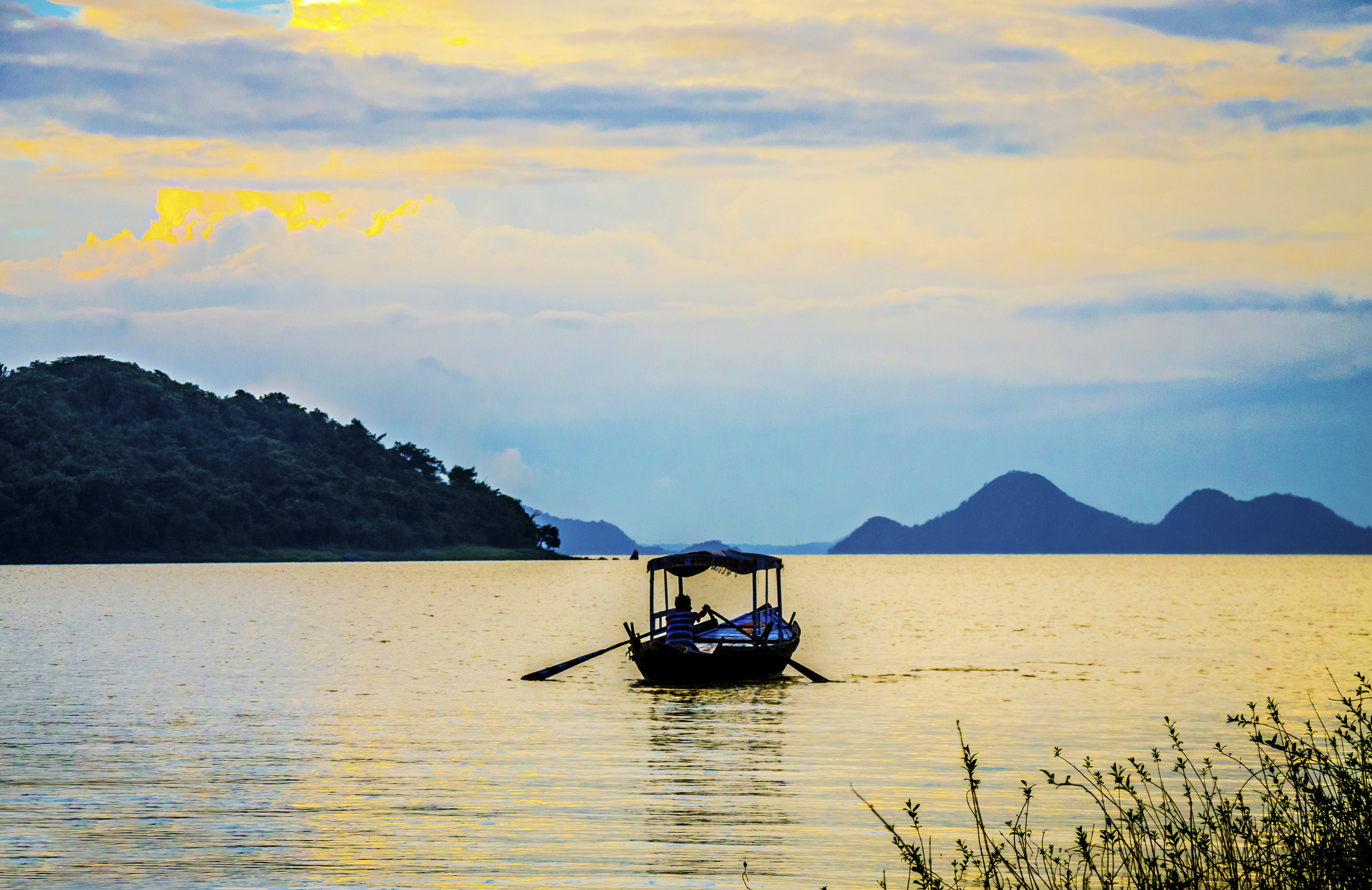
Maithon Dam
8 Km From Dhanbad, Maithon Is Termed As Mother's Abode. It Has The Biggest Reservoir In DVC. Conceived On The Lines Of Tennessee Valley, USA It Has Been Designed For Flood Control & Generates 60,000 KW Of Electric Power. It Is Built On The River Barakar.It Has Its Unique Underground Power Station, The First Of Its Kind In South Asia. The Lake Is Spread Over An Area Of 65 Km2. It Is 15,712 Ft (4,789 M). Long & 165 Biharinath Eco Tourism To Maithon Distance Approx 52 Km
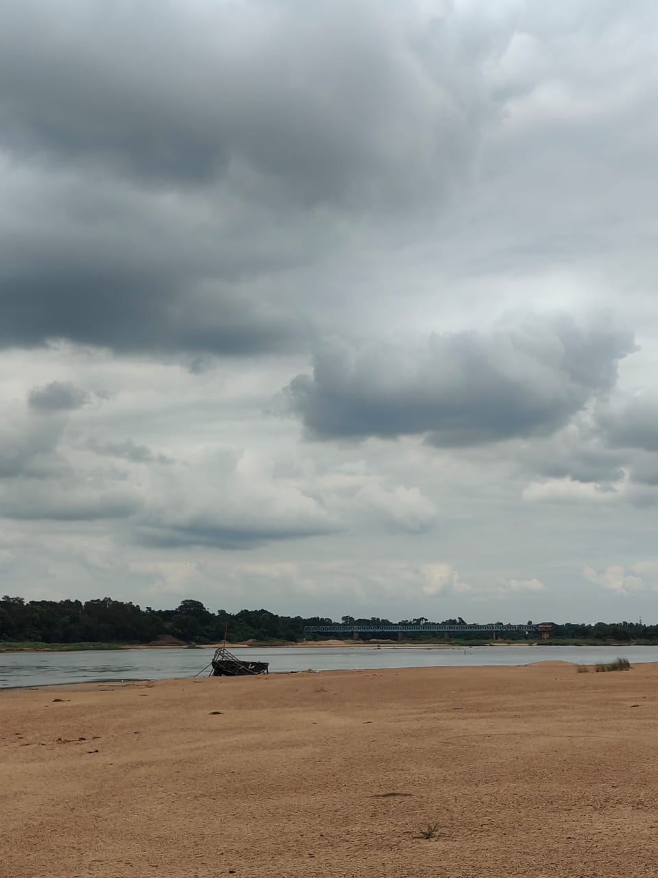
Damodar River
It Has A Number Of Tributaries And Subtributaries, Such As Barakar, Konar, Bokaro, Haharo, Jamunia, Ghari, Guaia, Khadia And Bhera.The Damodar And The Barakar Trifurcates The Chota Nagpur Plateau. The Rivers Pass Through Hilly Areas With Great Force, Sweeping Away Whatever Lies In Their Path. Two Bridges On The Grand Trunk Road Near Barhi In Hazaribagh District Were Torn Down By The Barakar: The Great Stone Bridge In 1913 And The Subsequent Iron Bridge In 1946.BIharinath Eco Tourism To Damodar River Distance Approx 8KM.
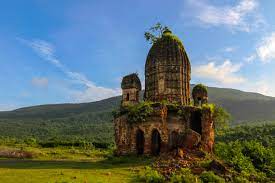
Garpanchokot Hill
The Fort's Construction A Combination Of Natural And Man Made Resources Were Used To Build It.A Semicircular Moat Was Built Which Started From One End Of The Foothill To The Other End. The Only Way To Enter Was By Crossing The Moat By Using A Boat At The Centre Of The Semicircle. The Rest Of The Area Was Either Inaccessible Due To Large Growth Of A Special Type Of Bamboo Tree Which Grew Thick Wild Making It Very Difficult For Intruders As Well As A Thick And High Stone Wall That Was Constructed.600 Feet Above In The Middle Of The Panchakot Hill Were The Guard's Quarters. In Contrast To The Architecture Of The Palace Below, It Was Completely Made Of Large Stone Slabs.The Guard's Quarter Has A Strategic Position. Spread Over A 500 Square Meters Area Is More Of A Miniature Fort Surrounded By Solid Rock Walls With Only One Entry Point, The Pyramid Like Hollow Gate From Where The Entire Palace Below And The Surroundings Could Be Watched.Once Inside The Fort, On The Right As Well As Left There Are Two Long And Narrow Rooms With Small Vents Overlooking The Plains. In The Centre Stands A Stone Temple Dedicated To Rama The King Of Ayodhya, This Signifies That It Was Truly A Guards Quarter As More Appropriately The People Who Guarded The Area Were The Elite Warriors And Generally Worshiped Rama As He Represented Strength, Courage And Who Had Fought Many Wars. From The Other Remains One Can't Ascertain The True Nature Of Its Usefulness; A Hollow Lions Head Made Of Stone Known As The "Singh Mukh" Or Other Artefacts Mostly Made Of Stone.BiharinathEco Tourism To Garpanchokot Hill Distance Approx 19 KM.